


Weather information for the Steamboat Ski Resort area is provided below. Average temperatures, climate details and current forecasts are included!
Climate
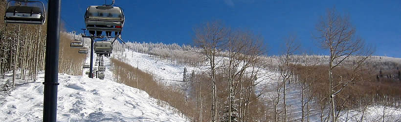
Steamboat Springs is high in the mountains and receives an average of more than 13 feet of snowfall per year -- and that's in town. The Steamboat Ski Resort receives much more. Nearby mountain passes are often closed in winter months, so allowing for some flexibility in your route is advised. During the coldest months of winter, temperatures rarely rise above freezing. Springs and falls are crisp, and summers are pleasantly warm.
| Jan | Feb | Mar | Apr | May | Jun | Jul | Aug | Sep | Oct | Nov | Dec | ||
| Avg. High | 30 | 34 | 40 | 50 | 61 | 71 | 76 | 75 | 67 | 56 | 40 | 32 | |
| Avg. Low | 4 | 7 | 15 | 23 | 32 | 39 | 45 | 44 | 35 | 26 | 14 | 7 | |
| Precipitation | 1.3 | 1.0 | 1.3 | 1.4 | 1.6 | 1.3 | 2.1 | 1.7 | 1.4 | 1.3 | 1.3 | 1.2 | |
Live weather is currently unavailable.
Please visit weather.gov for current and forecasted weather.
Overnight
Chance Snow Showers
Tuesday
Snow Showers Likely
Tuesday Night
Chance Snow Showers
Wednesday
Patchy Fog then Snow Showers Likely
Wednesday Night
Snow Showers
Thursday
Snow Showers
Detailed Forecast |
|
|---|---|
| Overnight | A chance of snow showers and patchy fog. Mostly cloudy, with a low around 22. West wind around 5 mph. Chance of precipitation is 40%. New snow accumulation of less than one inch possible. |
| Tuesday | Snow showers likely. Cloudy, with a high near 33. West northwest wind 5 to 10 mph. Chance of precipitation is 70%. New snow accumulation of 1 to 3 inches possible. |
| Tuesday Night | A chance of snow showers before 9pm, then a chance of snow showers and patchy fog. Mostly cloudy, with a low around 19. West northwest wind 5 to 10 mph. Chance of precipitation is 40%. New snow accumulation of around one inch possible. |
| Wednesday | Patchy fog before 10am, then snow showers likely. Partly sunny, with a high near 38. West wind around 5 mph. Chance of precipitation is 60%. New snow accumulation of less than one inch possible. |
| Wednesday Night | Snow showers. Cloudy, with a low around 25. South southeast wind 0 to 5 mph. Chance of precipitation is 90%. New snow accumulation of 2 to 4 inches possible. |
| Thursday | Snow showers. Cloudy, with a high near 40. Chance of precipitation is 100%. New snow accumulation of 3 to 5 inches possible. |
| Thursday Night | Snow showers. Cloudy, with a low around 17. Chance of precipitation is 90%. New snow accumulation of 3 to 5 inches possible. |
| Friday | Snow showers before 5pm, then a slight chance of snow showers and a slight chance of thunderstorms. Mostly cloudy, with a high near 33. New snow accumulation of 1 to 2 inches possible. |
| Friday Night | A slight chance of snow showers and a slight chance of thunderstorms before 11pm. Mostly cloudy, with a low around 9. New snow accumulation of less than half an inch possible. |
| Saturday | Mostly sunny, with a high near 34. |
| Saturday Night | Mostly clear, with a low around 10. |
| Sunday | Sunny, with a high near 42. |
| Sunday Night | Mostly clear, with a low around 16. |
| Monday | Mostly sunny, with a high near 47. |


