


Weather information for the Crested Butte area is provided below. Average temperatures, climate details and current forecasts are included!
Climate
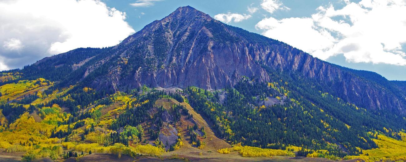
Crested Butte is high in the Rockies and the weather is often cold. Temperatures typically drop below freezing at night, even in summer. The mountains receive heavy snow in winter months, and US 135 is the only road you can count on to be open during snow season. Mid-summer days are usually pleasantly warm, but the high altitude means there's a greater danger of sunburn.
| Jan | Feb | Mar | Apr | May | Jun | Jul | Aug | Sep | Oct | Nov | Dec | ||
| Avg. High | 23 | 28 | 35 | 44 | 56 | 68 | 74 | 73 | 65 | 54 | 37 | 26 | |
| Avg. Low | -6 | -3 | 7 | 18 | 28 | 33 | 38 | 38 | 31 | 22 | 9 | -4 | |
| Precipitation | 2.6 | 2.4 | 2.4 | 1.8 | 1.6 | 1.2 | 1.9 | 2.0 | 2.0 | 1.8 | 2.1 | 2.2 | |
Live weather is currently unavailable.
Please visit weather.gov for current and forecasted weather.
This Afternoon
Scattered Snow Showers
Tonight
Partly Cloudy then Patchy Fog
Wednesday
Areas Of Fog then Chance Snow Showers
Wednesday Night
Snow Showers Likely
Thursday
Snow Showers
Thursday Night
Snow Showers Likely
Detailed Forecast |
|
|---|---|
| This Afternoon | Scattered snow showers. Partly sunny, with a high near 32. West northwest wind around 10 mph, with gusts as high as 30 mph. Chance of precipitation is 30%. |
| Tonight | Patchy fog after 4am. Partly cloudy, with a low around 12. Northwest wind 0 to 10 mph, with gusts as high as 25 mph. |
| Wednesday | Areas of fog before 8am, then a chance of snow showers. Mostly sunny, with a high near 38. West northwest wind 0 to 5 mph. Chance of precipitation is 40%. New snow accumulation of less than one inch possible. |
| Wednesday Night | Snow showers likely before 1am, then snow showers and patchy fog. Cloudy, with a low around 22. South wind 0 to 5 mph. Chance of precipitation is 90%. New snow accumulation of 2 to 4 inches possible. |
| Thursday | Snow showers. Cloudy, with a high near 35. Southwest wind 5 to 15 mph, with gusts as high as 40 mph. Chance of precipitation is 100%. New snow accumulation of 3 to 7 inches possible. |
| Thursday Night | Snow showers likely. Mostly cloudy, with a low around 10. Chance of precipitation is 60%. New snow accumulation of 1 to 3 inches possible. |
| Friday | Snow showers likely and patchy fog. Partly sunny, with a high near 31. Chance of precipitation is 70%. New snow accumulation of less than one inch possible. |
| Friday Night | A chance of snow showers before 5am. Mostly cloudy, with a low around 8. New snow accumulation of less than half an inch possible. |
| Saturday | Mostly sunny, with a high near 34. |
| Saturday Night | Clear, with a low around 7. |
| Sunday | Sunny, with a high near 41. |
| Sunday Night | Clear, with a low around 13. |
| Monday | Sunny, with a high near 44. |
| Monday Night | Partly cloudy, with a low around 15. |


